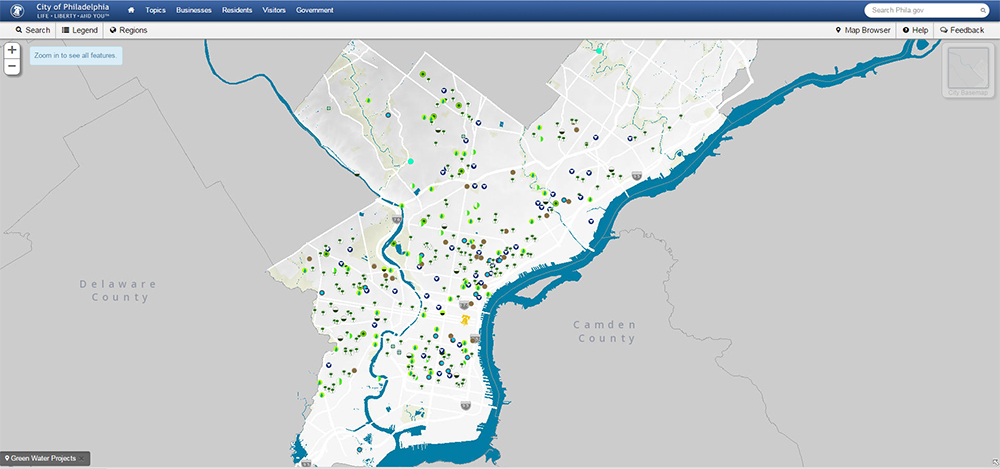
This map, viewable on the City of Philadelphia’s website, shows green infrastructure locations and was made using similar data sets.
In anticipation of Code for Philly‘s Oct. 16-18 “Apps for Philly Sustainability”(Sorry, this content is no longer available) meet-up, Philadelphia Water and other City agencies released tons of data for the super-tech savvy crowd to tinker with.
Our hope is this creative community of app-building enthusiasts will come up with new tools that help Philadelphia understand and appreciate, among other things, the breadth of green infrastructure projects being designed and implemented through the Green City, Clean Waters program.
Using the data we’ve collected and shared, they can conceive fun and engaging ways for people explore things like green infrastructure locations, how much rain is falling in different parts of the city, and how the topic of customer phone calls varies from neighborhood to neighborhood.
PhillyInnovates, a blog by the City’s Managing Director’s Office, just published this helpful list of the data sets Philadelphia Water released today:
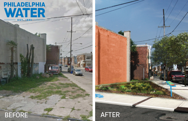
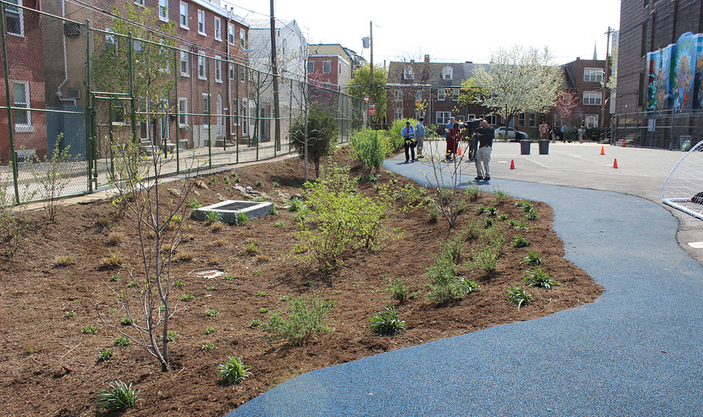
- Green Stormwater Infrastructure Projects (Sorry, this content is no longer available)– Green City, Clean Waters is Philadelphia’s 25-year plan to protect and enhance our watersheds by managing stormwater with green infrastructure.
- Green Infrastructure Completed Projects – Locations of completed Green Stormwater projects.
- Green Stormwater Infrastructure SoakItUp Adoption Sites – Locations of infrastructure being partially maintained by neighbors through the SoakItUp Program.
- Dams – Locations of dams throughout Philadelphia.
- Outfalls – Locations where water flows out from the city’s system.
- PWD Monitoring Locations (Sorry, this content is no longer available)– Locations where PWD has conducted surface sampling and other types of stream assessments.
- Customer Calls by Disposition – The types of calls received by the Water Department and how many of each type were received each month for the last year.
- Rain Gauge Network – Location and attributes of Rain Gauges throughout the City where Rainfall is measured.
- Rain Check Installation Sites – Rain Check is a Philadelphia Water program that helps residents manage stormwater at their homes. Participants can get a free rain barrel and/or get a downspout planter, rain garden or porous paving installed at a reduced price.
- Rain Barrels (Data Refreshed) – Rain Barrels installed under PWD’s Rain Barrel Workshop and Installation program, which ran from 2006 to 2015.
- Grants Disbursed (Data Refreshed) – Recipients, award amounts, and project sites for grant money disbursed by the Philadelphia Water Department for the Stormwater Management Incentive Program, Soak It Up!, the Green Acre Program, and Business Incentive Program.
Besides helping to fuel new ideas and providing important information to residents, data releases like this encourage a culture of openness in city institutions.
Or, as Mayor Nutter puts it: “Transparency helps Philadelphia become one of the safest, greenest, healthiest cities in America. This data release joins a growing list of more than 240 open data sets that help inform citizens and strengthen trust in government.”
Mary Ellen McCarty, a GIS Specialist in Philadelphia Water’s Office of Watersheds who worked to provide the data, thinks this information will help residents on a community level.
“I see value in the public learning about projects planned in their neighborhood,” says McCarty. “We are currently working on a project to publish a Big Green Map 2.0, with more information. The user will see more site information about not only public green stormwater infrastructure projects, but private development sites with stormwater management as well.”
We’ll be keeping an eye out for cool projects to come out of this weekend’s meet up, so stay tuned for updates.
H/t to PhillyInnovates and MDO.