Did you know you can help make our city safer? All it takes is the camera on your phone and a minute of your time.
As members of Philadelphia’s Citywide Flood Risk Management Task Force, we are teaming up with the Office of Emergency Management to ask residents for photos and info that will improve how we respond to flooding threats.
Our goal: to create a more complete and accurate picture of neighborh0ood and street flooding conditions across Philadelphia by pairing data provided by sophisticated weather monitoring infrastructure with neighborhood-level data provided by residents.
Have street flooding photos? Submit here ›
While local, state and federal officials use a variety of tools—from flood gauges submerged in the Schuylkill River to satellites beaming down live weather data—eyewitness, on-the-ground and real-time information from people like you can greatly enhance what we know about flooding in Philadelphia.
This effort is part of a partnership with the National Weather Service aimed at fine-tuning the City’s ability to direct resources during emergency weather and improving the alerts that warn residents about dangerous local conditions.
What We Want from You
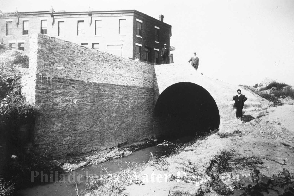
- Photos of “riverine” flooding: overflowing creeks, rivers, and local waterways
- Photos of “surface” flooding: inundated streets, parking lots, and other public areas
- Exact time, date, and location of your flood photos
Learn more about what riverine and surface flooding looks like on page 7 of our flooding guide.
Where to Send:
Use this form to upload your files and enter key details:
Submit Flooding Photos ›
Note: It is crucial to include precise details about where and when the flooding was recorded.
Having that information will tell us what local weather instruments, like rain and flood gauges, were recording at the exact time your photo or video was taken.
During future storms, your submission will ensure we have better, more localized information we can use to target warnings and deploy emergency response resources.
What We Are NOT Looking for Here
- Reports that require emergency assistance
- Images of flooded basements and residential properties
To report basement flooding, call us at (215) 685-6300 before pumping water out to schedule an inspection.
(This will allow us to sample the water and offer the best solution.)
Stay Safe.
It is extremely important to note that residents should never seek out flooded roadways or other areas impacted by floodwaters.
Never place yourself in a dangerous situation to record flood conditions, and never drive or walk through flooded areas.
Heed all warnings from officials, including evacuation orders, and practice the tips for staying safe during and after storms found in the City’s flooding guide for residents.
We Respect Privacy.
The primary purpose of collecting this information is to improve safety and services. We will not make the information you share public without express permission. If you want your submission to be available for use in educational materials, including guides and social media posts from City of Philadelphia department accounts, you can indicate that on our form.
About the Citywide Flood Risk Management Task Force
The task force was created by the City of Philadelphia in 2014 to encourage collaboration between departments and agencies and to maximize the City’s resources for addressing flooding issues. Our mission is to develop an improved strategy for flood management and to inform smart planning as we address evolving flooding challenges.
City agencies on the task force include:
- Office of Emergency Management
- Philadelphia Water Department
- Philadelphia Department of Public Health
- Office of Sustainability
- Philadelphia City Planning Commission
- Philadelphia Streets Department
- Philadelphia Parks and Recreation
- Licenses and Inspection
More local flooding resources:
- “A Guide to Flooding in Philadelphia – What to know: Before it happens. As it happens. After it happens.”
- ReadyPhiladelphia email and text message alert signup
- Philadelphia Office of Emergency Management homepage
- Read this recent blog post from OEM and check out a video they put together to talk about floodplains, flood insurance, and protecting your property: