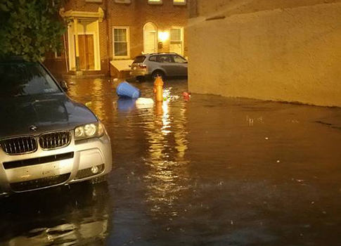
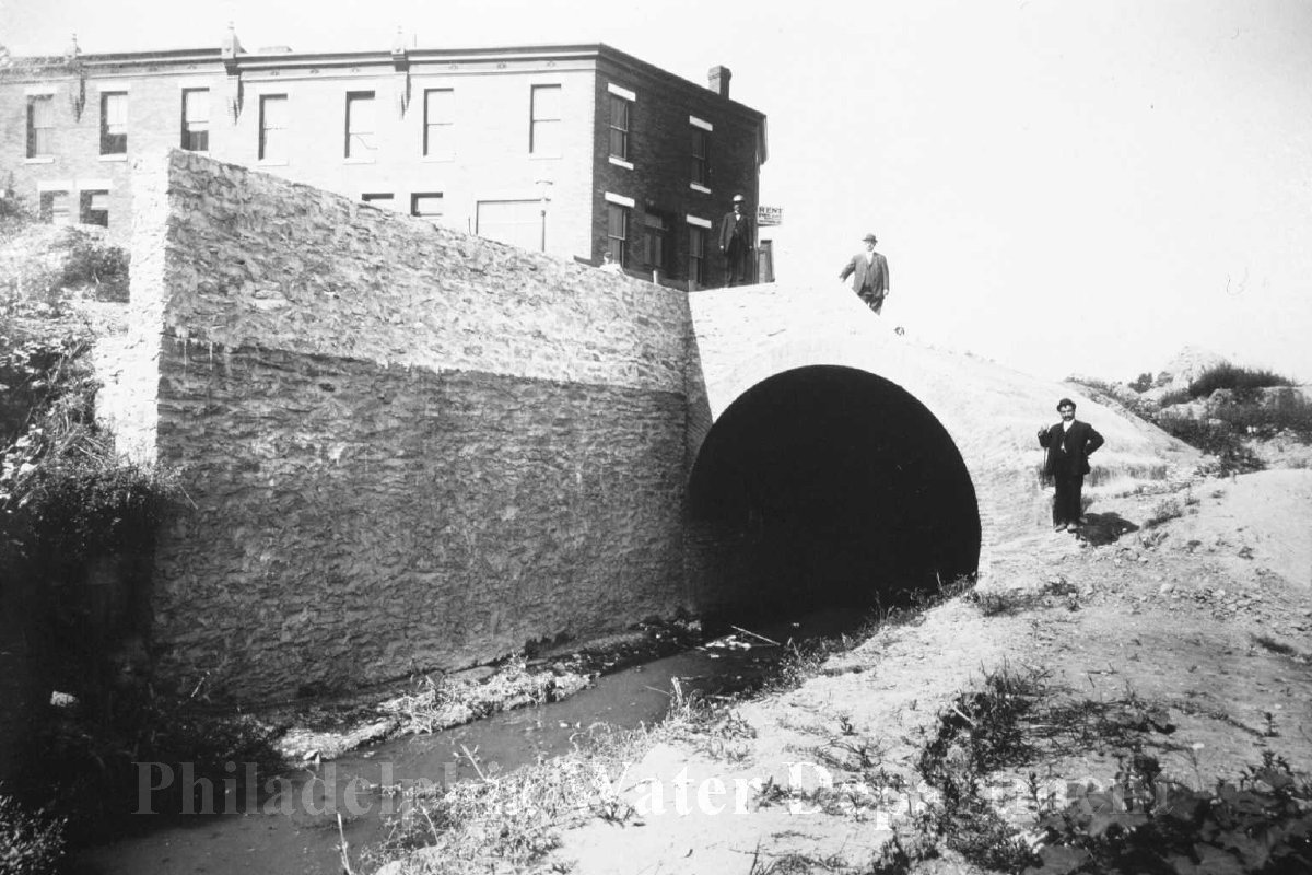
This summer has given Philadelphians a glimpse of what scientists say the future may hold.
In just a few weeks, Philadelphia faced severe storms, flooding, extreme heat, and smoke from Canadian wildfires. Each event was different, but together they show an important trend: extreme weather is becoming more common.
For the Philadelphia Water Department (PWD), understanding these events helps us plan for the future.
July 11: A case study
On July 11, Philadelphia experienced the highest intensity rain event ever recorded in the city.
The rain was especially heavy in parts of West Philadelphia. In the Overbrook section of West Philadelphia, nearly one inch of rain fell in just five minutes.
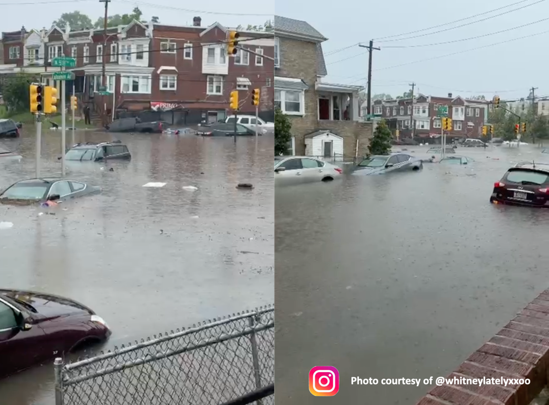 Nearly one inch of rain fell in just five minutes in one West Philadelphia neighborhood, reaching rainfall levels associated with an extremely rare 1,000-year event. Photo courtesy of @whitneylatelyxxoo
PWD’s preliminary analysis found that rainfall at this location exceeded the estimated 1,000-year rainfall intensity over periods of 5, 10, and 15 minutes.
The storm began around 1:30 pm and had mostly ended by 3 pm. A total of 1.91 inches of rain was recorded at this location. PWD engineers said they couldn’t recall so much rain falling in such a short amount of time.
But what does a “1,000-year” rainfall event actually mean?
What is a “1,000-year storm”?
The name can be confusing. A “1,000-year” rainfall event does not happen only once every 1,000 years. The term is a way of describing how rare an amount or intensity of rainfall has historically been.
A 1,000-year rainfall event has historically had about a 0.1% chance of happening in any given year. That means the chance of an event this extreme occurring is very small, but it is possible for an event of this size to happen more than once within 1,000 years.
In fact, storms that were once considered rare are becoming more likely as warmer temperatures produce heavier rainfall.
On July 11, parts of West Philadelphia saw an extreme, localized rainfall event known as a cloudburst that matched what is considered to be a 1,000-year rain event.
What is a cloudburst?
You may have seen the July 11 storm described as a cloudburst or a microburst. The terms describe different parts of a severe storm. A cloudburst is a common term for an unusually large amount of rain falling over a small area in a very short time. A microburst describes powerful winds that move quickly downward from a thunderstorm. Microbursts can produce damaging winds along with heavy rain.
No matter which term is used, the July 11 storm shows how quickly an extreme downpour can overwhelm streets, storm drains, and low-lying areas.
The amount of rain also varied across Philadelphia. Some areas saw very little rain, while others had heavy downpours and flash flooding.
Why are these storms becoming more common and intense?
Warmer air can hold more moisture. Scientists estimate that for every 1.8°F increase in temperature, the atmosphere can hold about 7% more moisture. More moisture in the atmosphere can give storms more water to release as rain.
That does not necessarily mean it will rain more often. Instead, some storms may produce heavier rain in a shorter period of time. These intense downpours can increase the risk of flash flooding, especially in cities.
The Northeast is seeing some of the largest changes in the country
The July 11 storm did not happen in isolation. The entire Northeast is seeing more heavy rain than it did in the past, and the region’s heaviest rainstorms have increased by about 60 percent since the 1960s — more than in any other part of the country.
Philadelphia is also experiencing other climate change impacts, including more frequent heat waves, higher average temperature, and higher sea levels. These trends are expected to continue over the coming decades.
Why can a few minutes of heavy rain cause flooding?
Flooding isn’t only caused by several inches of rain falling over an entire day. Problems can develop very quickly when a large amount of rain falls in just a few minutes.
During the July 11 storm, nearly an inch of rain fell in five minutes in one part of West Philadelphia. In a city with as many streets, sidewalks, buildings, and other hard surfaces as Philadelphia has, much of that water cannot soak directly into the ground. Instead, it flows toward streets and storm drains.
When rain falls faster than the drainage system can collect and carry it away, water can build up on streets and in low-lying areas.
Summer thunderstorms can also be highly localized. One neighborhood may experience an extreme downpour while another neighborhood only a few miles away may receive much less rain. That’s exactly what Philadelphia experienced on July 11.
What does this mean for Philadelphia?
The July 11 storm demonstrated how quickly extreme rainfall can affect our communities. Understanding how Philadelphia’s rainfall is changing is an important part of preparing for the future.
PWD continues to study rainfall patterns, climate change projections, and flood risks to help the City plan for changing conditions.
Stay tuned for more about how PWD is preparing for extreme weather in our next post!