From its headwater tributaries in Montgomery County to its confluence with the Schuylkill River in Manayunk, Wissahickon Creek Watershed offers a variety of recreational, historical, and stewardship experiences. The Wissahickon Gorge in the lower watershed has been long preserved as part of Fairmount Park, drawing visitors to its trails, interesting geology, and historic mill dams.
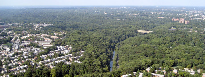
The suburban portion of the watershed has rapidly developed over the last decades, causing strain on the water resources, mostly from increased stormwater runoff and discharge of treated wastewater. Despite these impacts, the watershed still retains several attractive town centers and numerous historic buildings.
There have been many efforts to preserve and restore the Wissahickon Watershed, and a broad swath of preserves, parks, and protected lands includes the Green Ribbon Trail along much of the Upper Wissahickon Creek, Forbidden Drive within Wissahickon Valley Park, Fort Washington State Park, and other smaller municipally-owned and private open spaces. These parks offer a range of activities including hiking, biking, golfing, leisurely strolls, fishing, camping, wildlife viewing, and bird and hawk watching.
Watershed Fast Facts
Area
Drains approximately 64 square miles
Stream Miles
Approximately 134 linear miles
Population
Approximately 160,000 residents
Impervious Cover
Approximately 24% impervious
Counties/Municipalities
Encompasses areas of Montgomery and Philadelphia Counties, with all or parts of 15 municipalities, including Abington, Ambler, Cheltenham, Horsham, Lansdale, Lower Gwynedd, Montgomery, North Wales, Springfield, Upper Dublin, Upper Gwynedd, Upper Moreland, Whitemarsh, Whitpain, and Worcester.
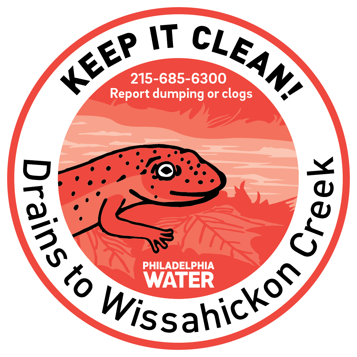
Help protect your watershed!
Aquatic wildlife markers are an easy way to remind your neighborhood to keep trash and chemicals out of drains.