The Schuylkill River was the first river in Pennsylvania designated “scenic” under the Pennsylvania Scenic Waters Act of 1982, and one-quarter of the watershed is categorized as having high-quality or exceptional waters. The river and its tributaries have long been recognized for the important roles they play as a fish habitat and source of drinking water.
As the largest tributary to the Delaware River, the Schuylkill River is a major contributor to the Delaware Estuary.
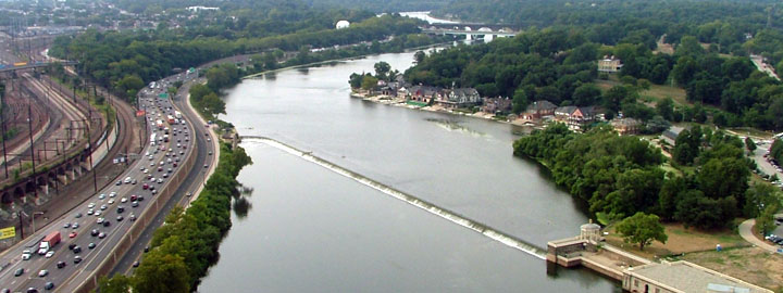
The Schuylkill River serves as a natural border between the City of Philadelphia and Lower Merion Township and flows through Fairmount Park, originally established to preserve the water quality in the Schuylkill for Philadelphia’s drinking water supply.
Today, many visitors to Philadelphia enjoy the spectacular view of Boathouse Row, the Fairmount Water Works, and the Philadelphia Museum of Art along the banks of the Schuylkill. The area of the watershed within Philadelphia is extremely urbanized and includes a diverse mix of neighborhoods, the Center City business district, numerous educational institutions and industrial uses.
Watershed Fast Facts
Area
Drains approximately 2,000 square miles
Stream Miles
Approximately 130 linear miles
Population
Approximately 1.5 million residents
Impervious Cover
Approximately 10% impervious
Counties/Municipalities
Encompasses areas of 11 counties, including Schuylkill, Berks, Montgomery, Chester, Philadelphia, Carbon, Lehigh, Lebanon, Lancaster, Bucks, and Delaware.
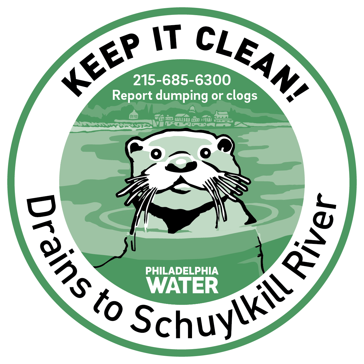
Help protect your watershed!
Aquatic wildlife markers are an easy way to remind your neighborhood to keep trash and chemicals out of drains.